Wandelgidsen - North East England
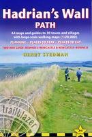 Wandelgids Hadrian's Wall Path | Trailblazer Guides
Goede wandelgids van de hele route van kust naar kust. Met veel details zijn alle etappes beschreven. Tevens informatie over overnachtingen en openbaar vervoer. Hadrian’s Wall Path, 84 miles from …
★★★★★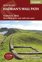 Wandelgids Hadrian's Wall Path | Cicerone
Meest duidelijke wandelgids van de route: veel details in kaarten en informatie, beide kanten op beschreven! The essential guidebook to walking the 84-mile Hadrian’s Wall Path. One of the UK's …
★★★★★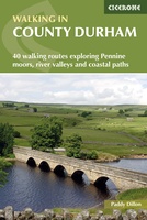 Wandelgids Walking in County Durham | Cicerone
Guidebook of walking routes in County Durham. The 40 day walks, ranging between 5 and 24km in length, explore all corners of this varied county, encompassing wild moorland, rolling pastures, …
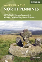 Wandelgids Walking in the North Pennines | Cicerone
Uitstekende wandelgids van dit geweldige gebied. goed beschreven met veel praktische informatie om de route te kunnen lopen, inclusief redelijke kaarten. This guidebook describes 50 day walks across the North …
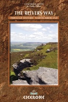 Wandelgids The Reivers Way - Walking Through Historic Northumberland | Cicerone
A guide to walking The Reivers Way, through Northumberland, northern England, from Corbridge to Alnmouth for 150 miles (240km) through the wildest parts of Northumberland - the North Pennines, Hadrian’s …
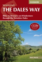 Wandelgids The Dales Way | Cicerone
A fully waymarked trail from Ilkley to Bowness-on-Windermere, the Dales Way links two of England's most celebrated national parks, the Yorkshire Dales and the Lake District. Well served for accommodation …
★★★★★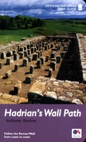 Wandelgids Hadrian's Wall Path | Aurum Press
Beschrijving van Hadrian's Wall Path. Historische en culturele aspecten komen vrij uitgebreid aan bod, praktische informatie is wel summier. Kaartmateriaal van Ordnance Survey is zonder meer uitstekend! Since it opened …
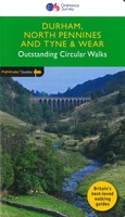 Wandelgids 039 Pathfinder Guides Durham, north Pennines and Tyne and Wear | Ordnance Survey
Wandelgids van een deel van Engeland, Schotland of Wales. Deze gids bevat 28 dagwandelingen, variërend van korte tochten tot pittige dagtochten. De bijbehorende kaarten zijn uitstekend: men heeft de topografische …
★★★★★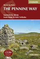 Wandelgids The Pennine Way | Cicerone
Uitstekende wandelgids van de Pennine Way, waarbij naast alle noodzakelijke informatie ook gebruik gemaakt wordt van de echte topografische kaart. inclusief gidsje met routekaarten van 1:25000 Guidebook to the Pennine …
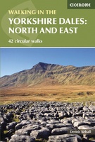 Wandelgids The Yorkshire Dales - Walking in the North and East | Cicerone
This guidebook contains 43 circular day walks in the north and east Yorkshire Dales. It explores the dales, hills and moors between Kirkby Stephen and Pateley Bridge. Walking ranges from …
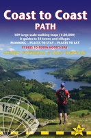 Wandelgids Coast to Coast Path: St Bees to Robin Hood's Bay | Trailblazer Guides
Goede wandelgids van de hele route van kust naar kust. Met veel details zijn alle etappes beschreven. Tevens informatie over overnachtingen en openbaar vervoer. All the information you need to …
★★★★★ Wandelgids Northumberland Coast Path | Aurum Press
Goede beschrijving van de aantrekkelijke route. Kaartmateriaal van Ordnance Survey - de Engelse topografische dienst op een schaal van 1:25.000. Praktische info voor overnachten ed. niet altijd uitgebreid, maar die …
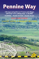 Wandelgids Pennine Way | Trailblazer Guides
Trailblazer British Walking Guide to the Pennine Way, Britain's best-known National Trail that winds for 256 miles through three National Parks - the Peak District, Yorkshire Dales and Northumberland. This …
★★★★★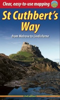 Wandelgids St. Cuthbert's Way | Rucksack Readers
Lange afstandswandelgids van de St. Cuthbert's Way wandeling. Wandelgids met kaarten en beschrijving. op waterbestendig papier, in spiraalbinding. Follow the footsteps of St Cuthbert in this easy-going walk of 63 …
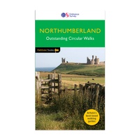 Wandelgids 087 Pathfinder Guides Northumberland | Ordnance Survey
Pathfinder® Guide to Northumberland, featuring 28 outstanding walks designed for a range of abilities covering 180 miles of walking. Features: 28 guided walks for a range of abilities …
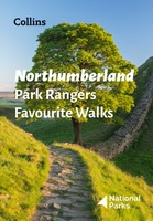 Wandelgids Park Rangers Favourite Walks Northumberland | Collins
The perfect companions for exploring the National Parks. Walking guide to the Northumberland National Park, with 20 best routes chosen by the park rangers. Each walk varies in length from …
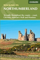 Wandelgids Walking in Northumberland | Cicerone
De wandelgidsen van Cicerone zijn toonaangevend als het gaat om kwaliteit en de hoeveelheid verschillende bestemmingen. De routes zijn helder en duidelijk beschreven, kaartmateriaal is veelal van de topografische dienst …
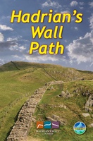 Wandelgids Hadrian's Wall path | Rucksack Readers
Uitgevoerd in de vorm van een klapper, met ringband geeft deze gids een goede beschrijving van de lange afstands route. De kaarten zijn schetsmatig maar wel duidelijk. Hadrian's Wall …
★★★★★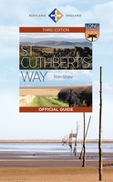 Wandelgids St Cuthbert's Way | Birlinn
This 100k (60 mile) walk was opened in 1996 and has rapidly increased in popularity, with thousands of walkers walking all or parts of it every year. Visiting a number …
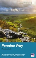 Wandelgids Pennine Way | Aurum Press
Goede beschrijving van de aantrekkelijke route. Kaartmateriaal van Ordnance Survey - de Engelse topografische dienst op een schaal van 1:25.000. Praktische info voor overnachten ed. niet altijd uitgebreid, maar die …
Laatste reviews

Handig formaat met overzichtelijke nuttige inhoud. Ruimte voor notities. Een aanrader dus.
★★★★★ door Vera van Miert 10 januari 2025 | Heeft dit artikel gekocht
Wij hebben veel gereisd door Griekenland Ondanks alle navigatie systemen vertrouwen nog steeds op de (ouderwetse landkaarten) Bij de zwerver kun je bijna alle kaarten …
★★★★★ door Henri Nonhebel 09 januari 2025 | Heeft dit artikel gekocht
Eindelijk een reisboek dat echte informatie over een land en haar bevolking verschaft; en ook nog eens zeer leesbaar!
★★★★★ door Piet Maartense 09 januari 2025 | Heeft dit artikel gekocht
Tja in 3 reisboekenwinkels in Amsterdam was hij nog niet te krijgen. We gaan in juni deel 1 van Haarlem tot Tours (Fr.) De fietsen …
★★★★★ door Peter 09 januari 2025 | Heeft dit artikel gekocht


