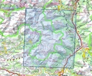
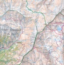
Wandelkaart - Topografische kaart 3437ET Orcières-Merlette | IGN - Institut Géographique National (9782758546719)
Sirac, Mourre Froid, Parc national des Écrins
- ISBN / CODE: 9782758546719
- Editie: 26-11-2018
- Druk: 5
- Aantal blz.: 1
- Schaal: 1:25000
- Uitgever: IGN - Institut Géographique National
- Soort: Topografische kaart, Wandelkaart
- Serie: Top 25
- Taal: Engels, Frans
- Hoogte: 24.0 cm
- Breedte: 11.0 cm
- Gewicht: 83.0 g
- Uitvoering: Papier
- Bindwijze: -
- Beoordeling: 5,0 ★★★★★ (2 reviews) Schrijf een review
-
€ 16,95
Op voorraad. Voor 17.00 uur op werkdagen besteld, morgen in huis in Nederland Levertijd Belgie
Gratis verzending in Nederland vanaf €35,-
-
Topografische kaarten IGN 25.000 Hautes Alpes: Ecrins

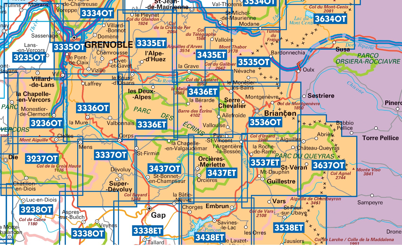
Producten op deze overzichtskaart:
Klik op een product om naar de pagina van dat product te gaan.
- Wandelkaart - Topografische kaart 3335OT Grenoble | IGN - Institut Géographique National
- Wandelkaart - Topografische kaart 3335OTR Grenoble | IGN - Institut Géographique National
- Wandelkaart - Topografische kaart 3336ET Les Deux Alpes | IGN - Institut Géographique National
- Wandelkaart - Topografische kaart 3336ETR Les Deux Alpes / Olan / Muzelle /PNR des Ecrins | IGN - Institut Géographique National
- Wandelkaart - Topografische kaart 3336OT La Mure | IGN - Institut Géographique National
- Wandelkaart - Topografische kaart 3337OT Dévoluy | IGN - Institut Géographique National
- Wandelkaart - Topografische kaart 3337OTR Dévoluy | IGN - Institut Géographique National
- Wandelkaart - Topografische kaart 3338ET Gap | IGN - Institut Géographique National
- Wandelkaart - Topografische kaart 3436ET Meije - Pelvoux | IGN - Institut Géographique National
- Wandelkaart - Topografische kaart 3437ET Orcières-Merlette | IGN - Institut Géographique National
- Wandelkaart - Topografische kaart 3437OT Champsaur | IGN - Institut Géographique National
- Wandelkaart - Topografische kaart 3438ET Embrun | IGN - Institut Géographique National
- Wandelkaart - Topografische kaart 3536OT Briançon | IGN - Institut Géographique National
- Wandelkaart - Topografische kaart 3537ET Guillestre | IGN - Institut Géographique National
- Wandelkaart - Topografische kaart 3538ET Aiguille de Chamberyron | IGN - Institut Géographique National
- Wandelkaart - Topografische kaart 3637OT Mont Viso | IGN - Institut Géographique National
-
Wandelkaarten IGN 25.000 Hautes Alpes: Ecrins

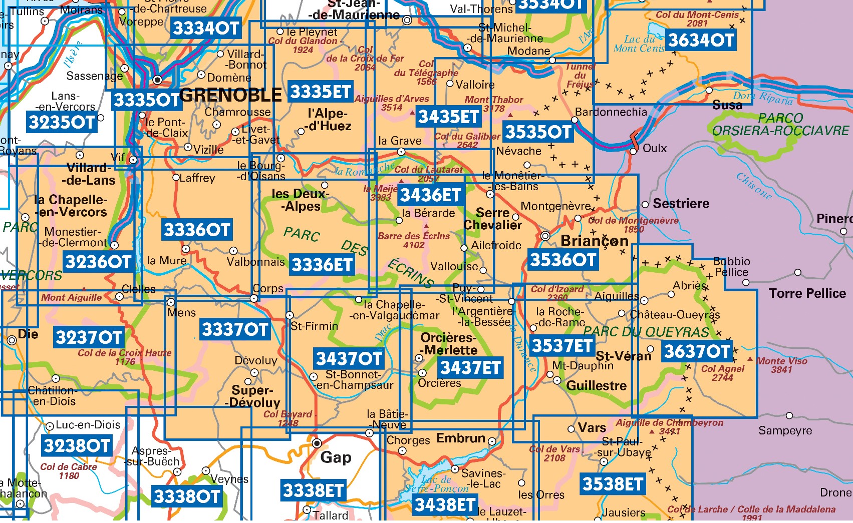
Producten op deze overzichtskaart:
Klik op een product om naar de pagina van dat product te gaan.
- Wandelkaart - Topografische kaart 3335OT Grenoble | IGN - Institut Géographique National
- Wandelkaart - Topografische kaart 3335OTR Grenoble | IGN - Institut Géographique National
- Wandelkaart - Topografische kaart 3336ET Les Deux Alpes | IGN - Institut Géographique National
- Wandelkaart - Topografische kaart 3336ETR Les Deux Alpes / Olan / Muzelle /PNR des Ecrins | IGN - Institut Géographique National
- Wandelkaart - Topografische kaart 3336OT La Mure | IGN - Institut Géographique National
- Wandelkaart - Topografische kaart 3337OT Dévoluy | IGN - Institut Géographique National
- Wandelkaart - Topografische kaart 3337OTR Dévoluy | IGN - Institut Géographique National
- Wandelkaart - Topografische kaart 3338ET Gap | IGN - Institut Géographique National
- Wandelkaart - Topografische kaart 3436ET Meije - Pelvoux | IGN - Institut Géographique National
- Wandelkaart - Topografische kaart 3437ET Orcières-Merlette | IGN - Institut Géographique National
- Wandelkaart - Topografische kaart 3437OT Champsaur | IGN - Institut Géographique National
- Wandelkaart - Topografische kaart 3438ET Embrun | IGN - Institut Géographique National
- Wandelkaart - Topografische kaart 3536OT Briançon | IGN - Institut Géographique National
- Wandelkaart - Topografische kaart 3537ET Guillestre | IGN - Institut Géographique National
- Wandelkaart - Topografische kaart 3538ET Aiguille de Chamberyron | IGN - Institut Géographique National
- Wandelkaart - Topografische kaart 3637OT Mont Viso | IGN - Institut Géographique National
Overzichtskaarten
Beschrijving
Dit product heeft meerdere varianten:
Reviews
als je van plan bent in het zuidelijke deel van nationaal park ecrins te gaan wandelen is dit een onmisbare kaart. zeer duidelijk, kunt er alles op vinden en je kunt er je eigen route mee uit stippelen. een tip voor dag wandelingen de omgeving van Prapic (Orcieres) is echt sprookjesachtig
★★★★★ door M v Gorp 3 oktober 2013Vond u dit een nuttige review? (login om te beoordelen)
Onmisbaar voor wandelaars
★★★★★ door L. Moes 16 mei 2013Vond u dit een nuttige review? (login om te beoordelen)
Schrijf een review
Graag horen wij wat u van dit artikel vindt. Vindt u het goed, leuk, mooi, slecht, lelijk, onbruikbaar of erg handig: schrijf gerust alles op! Het is niet alleen leuk om te doen maar u informeert andere klanten er ook nog mee!


