Wandelgidsen
Wandelgids kopen? Ontdek de beste wandelgidsen voor de mooiste wandelroutes in onze webshop!
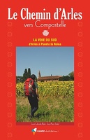 Wandelgids Chemin d'Arles vers Compostelle - La voie du Sud | Rando Editions
Franstalige wandelgids van de wandelroute van Arle naar Santiago de Compostella D’Arles la Provençale à Puente la Reina la Navarraise se déroule sur environ 900 km l’un des chemins …
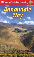 Wandelgids Annandale Way | Rucksack Readers
The Annandale Way is a charming long walk in a little-known, but very accessible, part of southern Scotland. Walked southward from source to the sea, it starts in the sheep …
 Wandelgids Borders Abbeys Way | Rucksack Readers
The Borders Abbeys Way is one of Scotland's Great Trails, a fascinating circuit that takes in the historic ruined abbeys of Melrose, Dryburgh, Kelso and Jedburgh. Within its 68 miles …
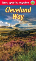 Wandelgids Cleveland Way | Rucksack Readers
“A testament to excellent research, writing and photography” - Malcolm Hodgson, Trail Manager The Cleveland Way is one of England’s oldest and best-loved National Trails. It runs for 108 …
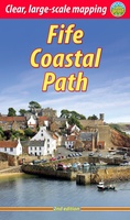 Wandelgids Fife Coastal Path | Rucksack Readers
The Fife Coastal Path runs around the coastline of eastern Scotland for 117 miles (187 km) from Kincardine on the Forth to Newburgh on the Tay. Starting west of the …
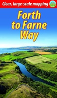 Wandelgids Forth to Farne Way | Rucksack Readers
This inspiring 70-mile pilgrim route starts from North Berwick on the Firth of Forth near Edinburgh, and continues via Whitekirk's 12th century church to Dunbar. It follows the North Sea …
 Wandelgids Heart of the Cotswolds | Rucksack Readers
“Waterproof paper, clear mapping, excellent photography and a knowledgeable text ”- Outdoor Focus The Cotswolds is the quintessential heart of England, with its rich cultural history, medieval ‘wool’ churches …
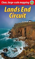 Wandelgids Land's End Circuit | Rucksack Readers
The South West Coast Path is the longest National Trail in the UK, and its full 630 miles is off-putting to most recreational walkers. This carefully selected section from St …
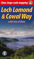 Wandelgids Loch Lomond & Cowal Way | Rucksack Readers
"Lavishly illustrated guidebook with route map plus practical information" - Scots Magazine The Loch Lomond & Cowal Way is one of Scotland's Great Trails. It runs for 57 miles (91 …
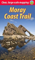 Wandelgids Moray Coast Trail | Rucksack Readers
The Mary Queen of Scots Way stretches across central Scotland from coast to coast, linking many places associated with Mary Queen of Scots. It runs for 107 miles (172 km) …
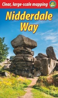 Wandelgids Nidderdale Way | Rucksack Readers
The Yorkshire Dales are famously beautiful valleys in northern England, but Nidderdale is perhaps the least known of them. Unique among the dales, this scenic valley has three large reservoirs …
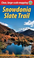 Wandelgids Snowdonia Slate Trail | Rucksack Readers
The Snowdonia Slate Trail is a waymarked trail that runs for 83 miles from Bangor on the North Wales coast, making a circuit through the heart of Snowdonia to end …
 Wandelgids Méér Vijlenerberg kroegjesroutes | Uitgeverij Tic
Tien jaar geleden begon Uitgeverij TIC een Limburgse wandelgidsenreeks met de uitgave van de Vijlenerberg Kroegjesroutes van Yvonne Cox. Het samenwerkingsverband van horeca-ondernemers rond een van 's lands hoogste beboste …
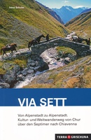 Wandelgids Via Sett, von Chur nach Chiavenna | Terra Grischuna
Die Via Sett führt in sieben Etappen von Chur auf die Lenzerheide, durchs Surses nach Bivio und über den Septimer ins Bergell nach Chiavenna. Bereits in der Römerzeit war …
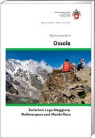 Wandelgids Ossola Alpinwandern | SAC Schweizer Alpenclub
Die Region rund um Domodossola verbindet den tiefsten und den höchsten Punkt der Schweiz - den Lago Maggiore und den Monte Rosa. In diesem Dreieck, das nordwärts fast bis zum …
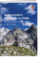 Wandelgids Alpinwandern von Hütte zu Hütte | SAC Schweizer Alpenclub
Der SAC-Führer beschreibt 26 anspruchsvolle Trekkings von Hütte zu Hütte in der Schweiz. Alpinwandern ist eine Disziplin zwischen Wandern und Bergsteigen. Das Publikum findet sich auf weiss-blau-weiss markierten Wegen …
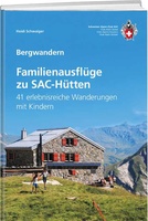 Wandelgids Familienausflüge zu SAC-Hütten | SAC Schweizer Alpenclub
Wandelgids met 41 wandelingen met kinderen in Zwitserland Mit Kindern in die Berge? Eine tolle Sache für Eltern, Paten, Grosseltern und Nachwuchs, wenn die Wanderung kurz und abwechslungsreich ist und …
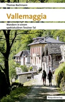 Wandelgids Vallemaggia - Tessin | Rotpunktverlag
Verästelt, verzweigt, verwinkelt - Vallemaggia, Val Bavona, Val Lavizzara, Valle di Peccia. Das Maggiatal und seine Seitentäler im Kanton Tessin wollen entdeckt sein. Zur Vielfalt der Täler kommt das Unten …
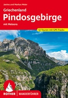 Wandelgids Pindosgebirge - Meteora | Rother Bergverlag
Goede - Duitstalige - wandelgids met veel dagtochten verspreid over het gebied. Beschrijvingen zijn voldoende en praktische informatie is handig. Ook de kaarten en hoogteprofielen zijn prima om mee te …
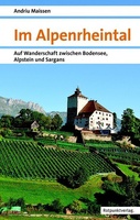 Wandelgids Im Alpenrheintal - Alpenrijndal | Rotpunktverlag
Das Alpenrheintal, an der Grenze zwischen der Schweiz, Österreich und Liechtenstein gelegen, erstreckt sich von Reichenau bis zur Einmündung des Rheins in den Bodensee und wird von imposanten Bergmassiven wie …
Waar moet je op letten als je een goede wandelgids wilt kopen?
Wat moet er in een wandelgids staan?
De kaarten in een wandelgids
De gebruikersvriendelijkheid van een wandelgids
De taal van de wandelgids
Het formaat
Kies altijd de meest recente editie van een wandelgids
Laatste reviews

Ik heb deze kaart gebruikt bij het wandelen van Zuid naar Noord Lanzarote. De kaart blijft zelfs goed bij vouwen en buigen.
★★★★★ door saar 25 november 2024 | Heeft dit artikel gekocht
Goede kaart, waterbestendig
★★★★★ door Bas 25 november 2024 | Heeft dit artikel gekocht
Was een hele goede keuze geweest. Enorm tevreden.
★★★★★ door Annet kriesels-Potters 25 november 2024 | Heeft dit artikel gekocht
zie boven
★★★★★ door Sabine Cohen 25 november 2024 | Heeft dit artikel gekocht


