Wandkaarten
Wandkaart kopen? Van landkaarten tot kinderwereldkaarten en prikborden, wij hebben een uitgebreide collectie in onze webshop
Verfraai uw interieur met een wandkaart aan de muur, bijvoorbeeld van uw favoriete vakantiebestemming, of van die bijzondere plaats waar u nog weleens naar terug wilt. Kies bijvoorbeeld voor een landkaart of een wereldkaart. Of voor een handig prikbord of educatieve, speelse kinderwereldkaart.
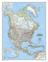 Wandkaart 20014 Noord Amerika, politiek, 60 x 77 cm | National Geographic
The political map of North America features trademark National Geographic detail and accuracy. The map shows country boundaries, place names, major highways and roads, bodies of water, and more. An …
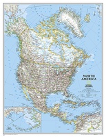 Wandkaart 20035 Noord Amerika, politiek, 91 x 118 cm | National Geographic
The political map of North America features trademark National Geographic detail and accuracy. The map shows country boundaries, place names, major highways and roads, bodies of water, and more. An …
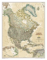 Wandkaart 20462 Noord Amerika, politiek & antiek, 60 x 78 cm | National Geographic
This richly colored map of North America - featuring country boundaries, place names, major highways and roads, and bodies of water - is excellent for reference in your home or …
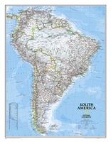 Wandkaart 20069 Zuid Amerika, politiek, 54 x 74 cm | National Geographic
This classic map of South America shows political boundaries, place names, airports, major roads and highways, and other geographic features for the entire continent.
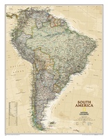 Wandkaart 20448 Zuid Amerika, politiek & antiek, 60 x 77 cm | National Geographic
This elegant, richly colored map of South America shows political boundaries, place names, airports, major roads and highways, and other geographic features for the entire continent.
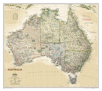 Wandkaart 20439 Australië, politiek & antiek, 77 x 69 cm | National Geographic
A current political map of Australia in rich, earth-toned colors clearly shows state boundaries, place names, bodies of water, parks and preserves, and more. Includes inset maps for Tasmania and …
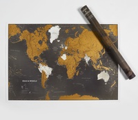 Scratch Map Scratch Wereldkaart Zwart NEDERLANDS | Maps International
Dit is de nieuwe zwarte editie van de mooie en gedetailleerde kraskaart van Maps International Met deze schitterende scratch map kun je de toplaag van de reeds bezochte bestemmingen …
★★★★★ Scratch Map World Map Black Engels | Maps International
Dit is de nieuwe zwarte editie van de mooie en gedetailleerde kraskaart van Maps International Met deze schitterende scratch map kun je de toplaag van de reeds bezochte bestemmingen …
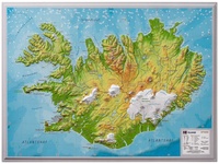 Wandkaart - Reliëfkaart IJsland met voelbaar 3D reliëf 42 x 30 cm | GeoRelief
Prachtig vormgegeven wandkaart van IIsland met reliëf. Uitgevoerd in stevig kunststof is IJsland vanzelfsprekend een land dat zich bij uitstek leent voor een 3D kaart: zo komen de bergmassieven, maar …
★★★★★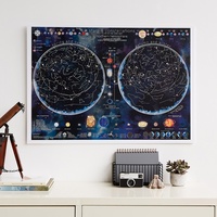 Poster - Wandkaart Stars & constellations glow in the dark 84.1 x 59.4 cm | Maps International
Prachtige glow-in-the-dark wandkaart van het heelal. CONSTELLATIONS MAP POSTER: Glow in the dark poster is packed with illustrated information that includes the planets in our solar system, satellites, lunar positions, …
 Wandkaart Zweden 55 x 123 cm | Norstedts
Een wandkaart van Zweden in een iets kleiner formaat om aan de muur te hangen. Decoratieve kleuren laten verschillende hoogtelagen zien en maken onder andere de Zweedse bergketen duidelijk. Hoofdwegen, …
★★★★★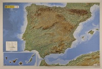 Reliëfkaart Spanje - Península Ibérica, Baleares y Canarias | 127 x 88 cm (9788441656680) | CNIG - Instituto Geográfico Nacional
Reliëfkaart van het Iberisch schiereiland, de Balearen, de Canarische eilanden, Ceuta en Melilla. Het reliëf wordt in 3D, maar ook met schaduw en hoogtekleuren weergegeven. Ook grote steden en grote …
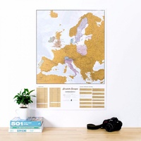 Scratch Map Europa Kraskaart | Maps International
This is a brilliant concept scratch poster of Europe allowing visited destinations to be scratched off revealing the beautifully styled up to date large wall map of Europe underneath. The …
★★★★★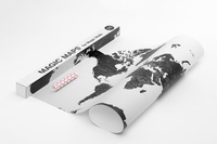 Wereldkaart Magic Map for Magic Walls 140 x 100 cm | Palomar
Simple and sophisticated Palomar’s Magic Maps are world maps that can be attached to a wall magically, without anything to hold them. No glue, no nails, no supports or …
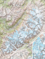 Wandkaart Mont Blanc 100 x 131 cm | IGN - Institut Géographique National
Gelamineerde wandkaart van het Mont Blanc-massief uitgegeven door IGN. Een topografische poster van zeer grote precisie geproduceerd door de gedeeltelijke montage van verschillende TOP 25. Het bevat alle details …
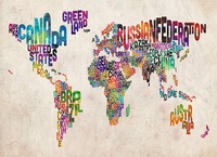 Wereldkaart Text Art 84,1cm x 59,4cm | Maps International
Een andere wereldkaart dan anders. Alle landen zijn weergegeven met hun naam. De kleinere eilanden zoals de Kanarische en een aantal Caribische zijn niet weergegeven. De kaart is gemaakt van …
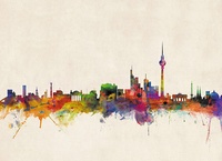 Stadskaart Berlin City Skyline – Berlijn, 84 x 59 cm | Maps International
Een schitterende en kleurrijke aquarel van de skyline van Berlijn. Een aanwinst voor elke muur. A bright and colourful watercolour skyline of the city of Berlin. With bold, dynamic and …
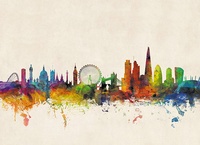 Stadskaart London City Skyline – Londen, 84 x 59 cm | Maps International
Een schitterende en kleurrijke aquarel van de skyline van Londen. Een aanwinst voor elke muur. A bright and colourful watercolour skyline of the city of London. With bold, dynamic …
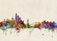 Stadskaart New York City Skyline, 84 x 59 cm | Maps International
Een schitterende en kleurrijke aquarel van de skyline van New York. Een aanwinst voor elke muur. A bright and colourful watercolour skyline of the city of New York. With …
 Stadskaart Paris City Skyline – Parijs, 84 x 59 cm | Maps International
Een schitterende en kleurrijke aquarel van de skyline van Parijs. Een aanwinst voor elke muur. A bright and colourful watercolour skyline of the city of Paris. With bold, dynamic …
Laatste reviews

Mooie landkaart en snel bezorgd
★★★★★ door Rene van Paasen 16 december 2024 | Heeft dit artikel gekocht
Als er één ding is waardoor de Blue Guides bekendheid genieten, dan is het wel de vele aandacht voor cultuur. Zo ook deze. Ik krijg …
★★★★★ door Christine Grit 13 december 2024 | Heeft dit artikel gekocht
De coördinaten op de kaart zijn onbruikbaar. Je kan deze niet gebruiken met een kaarthoekmeter. Er is geen getekende grid voor de coördinaten. Kaart is …
★★★★★ door Robin 13 december 2024 | Heeft dit artikel gekocht
De coördinaten op de kaart zijn onbruikbaar. Je kan deze niet gebruiken met een kaarthoekmeter. Er is geen getekende grid voor de coördinaten. Kaart is …
★★★★★ door Robin 13 december 2024 | Heeft dit artikel gekocht


