Zuid-Afrika
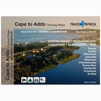 Wegenkaart - landkaart SC5-SC6 George to Kareedouw | Tracks4Africa
The Cape to Addo map series covers the southern parts of the Western Cape of South Africa in a series of eight highly detailed maps, printed on four sheets of …
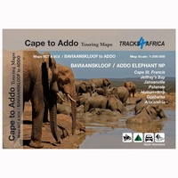 Wegenkaart - landkaart SC7-SC8 Baviaanskloof to Addo | Tracks4Africa
The Cape to Addo map series covers the southern parts of the Western Cape of South Africa in a series of eight highly detailed maps, printed on four sheets of …
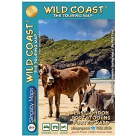 Wegenkaart - landkaart South Africa: Wild Coast | Slingsby Maps
Wild Coast Brand new 6th Edition of this great map : for 15 years the best and only detailed touring map of the Wild Coast! The Wild Coast …
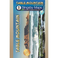 Wandelkaart South Africa: Table Mountain | Slingsby Maps
This highly detailed map shows all approved paths on the mountain and includes full GPS information. The map shows the Hoerikwaggo and the Peoples Trail, and covers the area from …
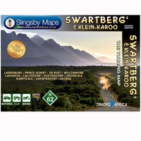 Wegenkaart - landkaart South Africa: Swartberg & Klein-Karoo | Slingsby Maps
All roads from National Highways to minor gravel roads are shown; the many classifications that indi- cate the quality of each road help you plan your route No less than …
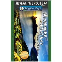 Wandelkaart South Africa: Silvermine & Hout Bay | Slingsby Maps
The map also includes: The Constantia Winelands All sections of the Hoerikwaggo Trail are shown All approved paths, with detailed DDMMSS GPS coordinates for major junctions, are clearly marked …
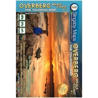 Wegenkaart - landkaart South Africa: Overberg Whale Coast | Slingsby Maps
The Overberg is one of the premier tourist regions of South Africa. Here the Cape Fold Mountains march eastward from Sir Lowry’s Pass, a rugged backdrop to this old Cape …
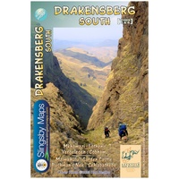 Wandelkaart 5&6 South Africa: Drakensberg South | Slingsby Maps
This double-sided map is the third of three maps in the latest edition of our famous “Slingsby” Drakensberg map series. Side One covers the area from Lotheni southwards through Vergelegen …
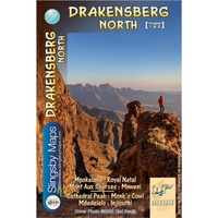 Wandelkaart 1&2 South Africa: Drakensberg North | Slingsby Maps
DRAKENSBERG NORTH: This double‑sided A1-sized map is the first of three maps in the latest edition of our famous “Slingsby” Drakensberg map series. Side One covers the area from Mpokelana …
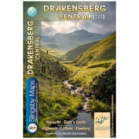 Wandelkaart 3&4 South Africa: Drakensberg Central | Slingsby Maps
DRAKENSBERG CENTRAL: This double‑sided A1-sized map is the second of three maps in the latest edition of our famous “Slingsby” Drakensberg map series. Side One covers the area from Injesuthi …
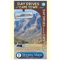 Wegenkaart - landkaart South Africa: Day Drives from Cape Town | Slingsby Maps
Our Day Drives from Cape Town map is the most comprehensive map available of the heartland of the Western Cape. The map shows all the roads, towns and relief of …
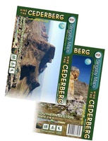 Wandelkaart South Africa: Hike the Cederberg | Slingsby Maps
HIKE THE CEDERBERG: There are two double-sided A1-sized maps in the set (i.e., four maps in all), covering the entire Cederberg Wilderness and extending north to Wolfdrif and south …
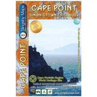 Wandelkaart South Africa: Cape Point and Simon’s Town & Fish Hoek | Slingsby Maps
This is map three in our three-map series of Table Mountain National Park. Waterproof and tear resistant in plastic sleeve. This brand new, fully redrawn and highly detailed map …
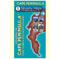 Wegenkaart - landkaart South Africa: Cape Peninsula | Slingsby Maps
If you’re a visitor to Cape Town, you’ll find this map essential. This double-sided waterproof map covers the whole of the Cape Peninsula in two sections; from Cape Town to …
 Wegenkaart - landkaart South Africa: Baviaanskloof | Slingsby Maps
Whether you’re a hiker, mountain biker or 4×4 enthusiast this is the map you need for your visit to the spec- tacular Baviaanskloof. This is the most comprehensive, fully researched …
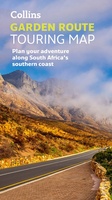 Wegenkaart - landkaart Touring Maps Garden Route | Collins
Full color, informative map of South Africa’s popular Garden Route. With detailed mapping and tourist information, this map is a perfect guide to traveling along the southern coast of South …
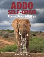 Reisgids - Reishandboek Addo Self-drive | HPH Publishing
Addo Elephant National Park is a diverse wildlife conservation park situated close to Gqeberha in South Africa and is one of the country's 20 national parks. It currently ranks third …
 Mountainbikegids Top MTB Trails 2 - Zuid-Afrika | MapStudio
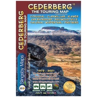 Wegenkaart - landkaart Cederberg Touring | Tracks4Africa
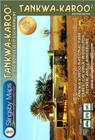 Wegenkaart - landkaart Tankwa-Karoo & Roggeveld Escarpment | Slingsby Maps
Laatste reviews

Heb de gids cadeau gedaan en die persoon was er heel blij mee ..
★★★★★ door J 21 november 2024 | Heeft dit artikel gekocht
De kaart van Kirgystan is prachtig, zeer gedetailleerd. Kan niet wachten tot de we echt op reis hmgaan die kant op.
★★★★★ door Marijke Eering 21 november 2024 | Heeft dit artikel gekocht
Super handig fiets boekje en mooi water bestendig. En handig om op de kaarten te kijken heel duidelijk beschrijving. Wij fietsen al jaren in Duitsland …
★★★★★ door Jenneke holterman 19 november 2024 | Heeft dit artikel gekocht
prima kaart levering en betaling allemaal vlot verlopen
★★★★★ door Marc Buts 19 november 2024 | Heeft dit artikel gekocht


