Wandkaarten van landen - Europa
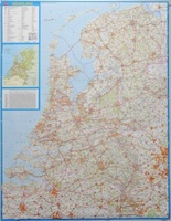 Wandkaart 34 Nederland Basic, 100 x 130 cm | Falk
Wandkaart - Falk Nederland met een formaat van 130 (h) X 100 (b) cm. Het is een zeer gedetailleerde en duidelijke wandkaart, met veel plaatsen, wegen met wegnummers, afritten. Deze …
★★★★★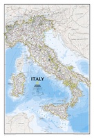 Wandkaart Italy – Italië, 59 x 87 cm | National Geographic
Decoratieve wandkaart van Italië. Naast de mooie kleuren staan er bijzonder veel plaatsen op vermeld. This Italy Wall Map by National Geographic contains extensive political information with political boundaries clearly …
★★★★★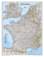 Wandkaart 22074 Frankrijk, België en Nederland, 60 x 77 cm | National Geographic
>Our classic wall map of France, Belgium, and the Netherlands shows political boundaries, major highways and roads, cities and towns, and a wealth of other incredibly accurate geographic detail. …
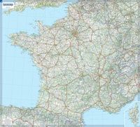 Wandkaart Frankrijk – France, 111 x 100 cm | Michelin
Dubbelzijdig geplastificeerde wandkaart van de klassieke overzichtskaart van Michelin Frankrijk. Als altijd zeer overzichtelijk en voorzien van een mooie heldere kleurstelling. Prachtig aan de muur! Op deze kaart is het wegennet identiek …
★★★★★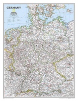 Wandkaart 02814 Germany – Duitsland, 58 x 76 cm | National Geographic
Decoratieve wandkaart van Duitsland. Naast de mooie kleuren staan er bijzonder veel plaatsen op vermeld. National Geographic's political map of Germany includes everything from country boundaries, major roads, towns …
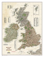 Wandkaart 20442 Groot Brittannië en Ierland antiek, 60 x 76 cm | National Geographic
This map of Britain and Ireland shows country boundaries, thousands of place names, major roadways, airports, bodies of water, and more. Rich earth-toned colors, astounding detail and boardroom quality make …
★★★★★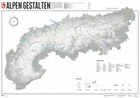 Wandkaart Alpen Gestalten | 100 x 70 cm | Marmota Maps
Let op: Kaart is duitstalig! Gipfel, Pässe, Täler, Bäche und Seen, Wälder, Almen. Ski-, Rad-, oder Wanderrouten. Besuchte oder noch zu besuchende Ortschaften und Regionen. Von den Seealpen bis …
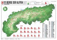 Wandkaart 111 Berge der Alpen | 59.4 x 84.1 cm | Marmota Maps
Mooie gedetailleerde wandkaart met de 111 belangrijkste bergtoppen van de Alpen. Daarnaast zijn 20 bijzondere wandelingen op de kaart ingetekend. Die Karte bildet die 111 wichtigsten Berge im gesamten …
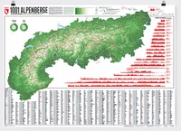 Wandkaart 1001 Alpenberge | 140 x 100 cm | Marmota Maps
Das Grundgerüst der Karte besteht aus Höhenlinien im Abstand von 250 Metern. So wirkt die Karte plastisch und gibt die Topographie der Alpen gut wieder. Dazu werden wesentliche Städte und …
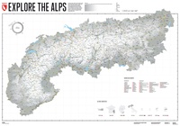 Wandkaart Alpen Gestalten | 140 x 100 cm | Marmota Maps
Gipfel, Pässe, Täler, Bäche und Seen, Wälder, Almen. Ski-, Rad-, oder Wanderrouten. Besuchte oder noch zu besuchende Ortschaften und Regionen. Von den Seealpen bis zum Wienerwald, vom Watzmann bis zum …
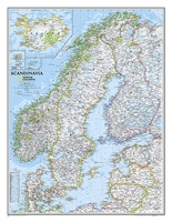 Wandkaart Scandinavië en Ijsland, 60 x 77 cm | National Geographic
National Geographic Wall Maps offer a special glimpse into current and historical events, and they inform about the world and environment. Offered in a variety of styles and formats, these …
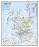 Wandkaart 20533 Schotland, 76 x 91 cm | National Geographic
This new map of Scotland, features our rich, antique-inspired Executive style. This beautiful map includes thousands of place names, accurate political boundaries, national parks, archeological sites, and major infrastructure networks …
★★★★★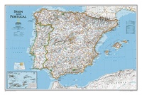 Wandkaart 22070 Spain - Spanje & Portugal 83 x 55 cm | National Geographic
This classic-style map of Spain and Portugal shows political boundaries, major highways and roads, cities and towns, airports and other geographic details. Thousands of place-names and exact borders are carefully …
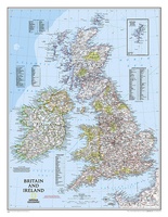 Wandkaart 02022 Britain and Ireland - Groot Brittannië en Ierland, 60 x 76 cm | National Geographic
This classic-style map of England and Wales shows political boundaries, major highways and roads, cities and towns, airports, and other geographic details. Thousands of place-names and exact borders are carefully …
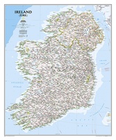 Wandkaart 20427 Ireland – Ierland, 76 x 91 cm | National Geographic
National Geographic Maps' new Ireland wall map is one of the most authoritative maps yet published of the Emerald Isle. Of the nearly 1,000 place-names shown on this map, all …
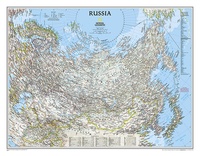 Wandkaart 22091 Russia – Rusland, 77 x 60 cm | National Geographic
Our classic wall map of Russia and the independent states of the former Soviet Union shows thousands of place names, roadways, political boundaries, bodies of water, airports, and many other …
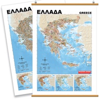 Wandkaart 1301 Griekenland Natuurkundig, 70 x 100 cm | Orama
Mooie natuurkundige kaart van Griekenland met namen in het Grieks.
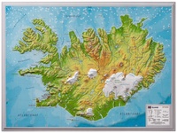 Wandkaart - Reliëfkaart IJsland met voelbaar 3D reliëf 42 x 30 cm | GeoRelief
Prachtig vormgegeven wandkaart van IIsland met reliëf. Uitgevoerd in stevig kunststof is IJsland vanzelfsprekend een land dat zich bij uitstek leent voor een 3D kaart: zo komen de bergmassieven, maar …
★★★★★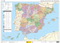 Wandkaart Spanje, 70 x 50 cm | CNIG - Instituto Geográfico Nacional
Administrative provinces of Spain shown in bright colours on a wall map at 1:2,250,000, size 70 x 50cm (27.5" x 20" approx), from IGN/CNIG - the country’s civilian survey organization, …
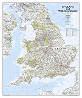 Wandkaart 20664 Engeland en Wales, 76 x 92 cm | National Geographic
This classic-style map of England and Wales shows political boundaries, major highways and roads, cities and towns, airports, and other geographic details. Thousands of place-names and exact borders are carefully …
Laatste reviews

Heb de gids cadeau gedaan en die persoon was er heel blij mee ..
★★★★★ door J 21 november 2024 | Heeft dit artikel gekocht
De kaart van Kirgystan is prachtig, zeer gedetailleerd. Kan niet wachten tot de we echt op reis hmgaan die kant op.
★★★★★ door Marijke Eering 21 november 2024 | Heeft dit artikel gekocht
Super handig fiets boekje en mooi water bestendig. En handig om op de kaarten te kijken heel duidelijk beschrijving. Wij fietsen al jaren in Duitsland …
★★★★★ door Jenneke holterman 19 november 2024 | Heeft dit artikel gekocht
prima kaart levering en betaling allemaal vlot verlopen
★★★★★ door Marc Buts 19 november 2024 | Heeft dit artikel gekocht


