♦ Cumbria
 Wandelkaart - Topografische kaart 315 OS Explorer Map Carlisle, Brampton, Longtown, Gretna Green | Ordnance Survey
Met zijn 4cm voor 1 km (2 ½ cm voor 1 mijl) schaal, is de OS Explorer kaartenserie de ideale en meest gedetailleerde kaartenreeks voor mensen die graag outdoor-activiteiten zoals …
★★★★★ Wandelkaart - Topografische kaart 303 OS Explorer Map Whitehaven, Workington | Ordnance Survey
Met zijn 4cm voor 1 km (2 ½ cm voor 1 mijl) schaal, is de OS Explorer kaartenserie de ideale en meest gedetailleerde kaartenreeks voor mensen die graag outdoor-activiteiten zoals …
 Wandelgids Cumbria Way | Rucksack Readers
Lange afstandswandelgids van de Cumbria Way door het Lake district. Wandelgids met kaarten en beschrijving. op waterbestendig papier, in spiraalbinding. The Cumbria Way begins at Ulverston and heads north through …
★★★★★ Reisverhaal In mijn voetsporen | Coast to Coast-route | Sarah Meuleman
 Wandelgids Cumbria Coast | Pocket Mountains
Handige compacte wandelgids met 40 dagwandelingen. Deze gids bevat kleine kaartjes en leuke uitgebreide informatie over wat er langs de route te zien is. Much quieter than the nearby Lake …
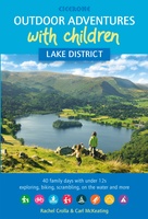 Wandelgids Lake District Outdoor Adventures with Children | Cicerone
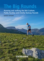 Wandelgids The Big Rounds | Cicerone
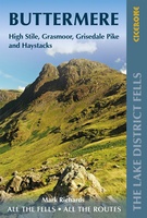 Wandelgids Buttermere | Lake District Fells | Cicerone
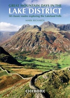 Wandelgids Great Mountain Days in the Lake District | Cicerone
An inspirational guidebook to 50 memorable walks through the high fells of the Lake District. From the favourite summits of Scafell, Bowfell, Great Gable, the Crinkle Crags, to lesser-known fells, …
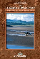 Wandelgids The Cumbria Coastal Way | Cicerone
This guidebook follows the continuous 298km (182 mile) walking route from Silverdale, on Morecambe Bay, towards Gretna on the Scottish border. The route links a number of gems of landscape, …
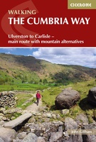 Wandelgids The Cumbria Way | Cicerone
A guidebook to the Cumbria Way, a 73-mile long distance path through the heart of the English Lake District from Ulverston to Carlisle. The route is largely low-level, and accessible …
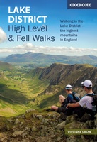 Wandelgids Lake District High Level and Fell Walks | Cicerone
A guidebook to 30 high level day walks in the Lake District, exploring some of the best mountains, ridgewalks, fells and summits within the national park. Mostly circular except for …
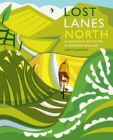 Fietsgids Lost Lanes North | Wild Things Publishing
Jack Thurston, best-selling author of the Lost Lanes series (50,000 sold) and presenter of the Bike Show, takes you on a freewheeling tour of the lost lanes and forgotten byways …
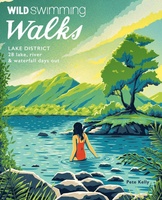 Reisgids Walks Lake District | Wild Things Publishing
The book takes you on magical journeys through Britain's most popular walking and swimming region, combining classic Lakes fell walking with adventurous swimming, collating the very best swims and hikes …
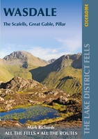 Wandelgids The Lake District Fells Wasdale | Cicerone
Uitstekende wandelgids voor dit uitdagende wandelgebied. This guide describes ascents of 25 Lake District fells that can be climbed from the valleys of Wasdale, Eskdale and Ennerdale. Quieter and …
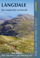 Wandelgids The Lake District Fells Langdale | Cicerone
Uitstekende wandelgids voor dit uitdagende wandelgebied. This guide describes ascents of 25 Lake District fells that can be climbed from Langdale and the Vale of Grasmere. Easily accessible from the …
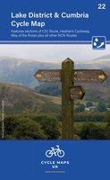 Fietskaart 22 Cycle Maps UK Lake District and Cumbria | Cordee
Een nieuwe fietskaarten serie van Groot-Brittannië. Gedrukt op scheur- en watervast papier en mooi handzaam klein formaat. Deze kaarten zijn met name heel goed om de Lange Afstands Fietsroutes (LF) …
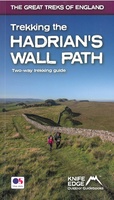 Wandelgids Trekking the Hadrian’s Wall Path | Knife Edge Outdoor
Real OS maps 1:25,000 The definitive two-way guide to the Hadrian’s Wall Path: both eastbound and westbound routes are described in full. Hadrian's Wall was one of the …
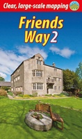 Wandelgids Friends Way 2 | Rucksack Readers
The Friends Way route will appeal not only to all Quakers who enjoy walking, but also to those walkers who don't yet know about Margaret Fell's remarkable story. This volume, …
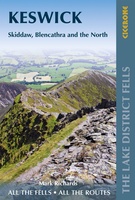 Wandelgids Walking the Lake District Fells - Keswick and the North | Cicerone
Uitstekende wandelgids voor dit uitdagende wandelgebied. This guide describes ascents of 30 Lake District fells that can be climbed from Keswick, the Whinlatter Pass, Bassenthwaite, Hesket Newmarket, Mungrisdale and Threlkeld. …
Laatste reviews

Deze kaarten gebruik ik om mooie wandelingen uit te zetten, die ik dan met mijn liefste meisje beloop. Dank u wel voor de snelle adequate …
★★★★★ door Jacques Marks 03 december 2024 | Heeft dit artikel gekocht
Ook ik ben een zwerver, maar gelukkig niet dakloos. Deze kaarten gebruik ik om mooie wandelingen uit te zetten, die ik dan met mijn liefste …
★★★★★ door Jacques Marks 03 december 2024 | Heeft dit artikel gekocht
Perfect👍
★★★★★ door Wilma & Mari 03 december 2024 | Heeft dit artikel gekocht
Vooralsnog ben ik tevreden met de kaart. Hij werd vlot bezorgd en ik kan hem goed lezen. De echte proof of the pudding vindt echter …
★★★★★ door Jan Piebe Tjepkema 03 december 2024 | Heeft dit artikel gekocht


