South East England
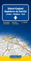 Wegenkaart - landkaart 3 England South-East / London | Kümmerly & Frey
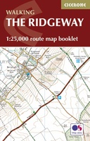 Wandelatlas Ridgeway Map Booklet | Cicerone
Heel handig bedacht van uitgever Cicerone: een boekje dat dienst doet als atlas met alle topografische kaarten die je nodig hebt voor het lopen van de Ridgeway. Past goed in …
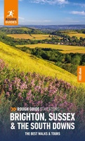 Reisgids Brighton, Sussex & the South Downs | Rough Guides
Een kleinere versie in zakformaat van de grotere versies van de Rough Guides. Als altijd weer vol met goede informatie over cultuur en praktische zaken. Voorin een kaart van de …
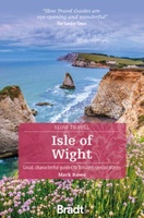 Reisgids Slow Travel Isle of Wight | Bradt Travel Guides
Een bijzondere serie van Bradt guides, waarin een gedeelte van Engeland uitgebreid beschreven wordt. Met veelv aandacht voor kleine details die je niet ao gauw elders zult vinden. Naast de …
★★★★★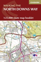 Wandelgids Walking the North Downs Way Map Booklet | Cicerone
All the mapping you need to walk the 130 mile (208km) North Downs Way National Trail between Farnham and Dover. One of the easier National Trails, it can be comfortably …
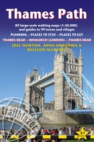 Wandelgids Thames Path | Trailblazer Guides
This book follows the Thames Path National Trail from the river's source in Gloucestershire to the Thames Barrier in London. Officially 184 miles (294km) in length (although the actual distance …
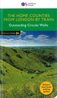 Wandelgids 072 Pathfinder Guides The Home Counties from London by Train | Ordnance Survey
The all-revised edition contains 27 carefully selected walks, all chosen to be easily accessible from London's main railway stations. The routes lie across Essex, Bedfordshire, Oxfordshire, Surrey, West Sussex, East …
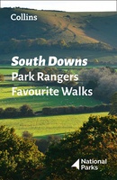 Wandelgids Park Rangers Favourite Walks South Downs | Collins
Compacte wandelgids met 20 wandelingen geselecteerd door park rangers en met duidelijke beschrijvingen en routekaartjes. Walking guide to the South Downs National Park, with 20 best routes chosen by …
 Reisgids England | Reise Know-How Verlag
Der Reiseführer für den Süden Englands von Reise Know-How - umfassend, engagiert und aktuell: Folgen Sie den Autoren nach Südengland und erleben Sie wunderschöne Gärten und historische Herrschaftshäuser. Entdecken Sie …
 Reisgids The England Coast Path | gritstone Publishing
The England Coast Path is a new long distance path around the whole coast of England. At 2,88 miles, it is the longest coastal path in the world and provides …
 Stadsplattegrond Popout Map Brighton and Hove | Compass Maps
Let PopOut Map Brighton and Hove guide you around this wonderful city. Experience Brighton and Hove with the help of this genuinely pocket-sized, pop-up map. Small in size yet big …
 Reisgids 111 places in Places in Brighton & Lewes That You Shouldn't Miss | Emons
Brighton has transformed itself several times since the middle ages and is today together with it surroundings, culturally one of the most exciting places in Britain, boasting an impressive coast …
 Reisgids 111 places in Places in Canterbury That You Shouldn't Miss | Emons
The ultimate insider's guide to Canterbury Features interesting and unusual places not found in traditional travel guides Part of the international 111 Places/Shops series with over 250 titles and 1.5 …
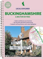 Wegenatlas Local Explorer Street Atlas Buckinghamshire and Milton Keynes | Philip's Maps
Philip's created this new series for walkers, cyclists and local explorers at a scale that provides greener options to uncover all the nature and hidden gems in your local area. …
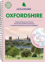 Wegenatlas Local Explorer Street Atlas Oxfordshire | Philip's Maps
Who hasn't explored and enjoyed their surrounding area in recent years and come to appreciate what is on our respective doorsteps? Philip's have created this new series for walkers, cyclists …
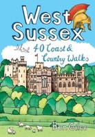 Wandelgids West Sussex | Pocket Mountains
From the city of Chichester with its ancient walls and harbour inlets standing sentinel over the English Channel to the northern heights of Black Down on its ridge of greensand …
 Reisgids Slow Travel The Chilterns & the Thames Valley | Bradt Travel Guides
Een bijzondere serie van Bradt guides, waarin een gedeelte van Engeland of Schotland uitgebreid beschreven wordt. Met veel aandacht voor kleine details die je niet al gauw elders zult vinden. …
★★★★★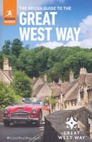 Reisgids Great West Way | Rough Guides
Discover the Great West Way with this comprehensive, entertaining, 'tell it like it is' Rough Guide, packed with comprehensive practical information and our experts' honest and independent recommendations. Whether you …
 Reisgids Marco Polo NL Zuid England | 62Damrak
Marco Polo reisgids voor Zuid-Engeland. Handig pocketformaat, boordevol informatie, met uitneembare kaart achter in het boek en atlas-pagina’s. Met Insider Tips om de échte stad/streek te ontdekken en de TOP …
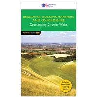 Wandelgids 084 Pathfinder Guides Berkshire, Buckinghamshire and Oxfordshire | Ordnance Survey
Wandelgids van een deel van Engeland. Deze gids bevat 28 dagwandelingen, variërend van korte tochten tot pittige dagtochten. De bijbehorende kaarten zijn uitstekend: men heeft de topografische kaarten van Ordnance …
Laatste reviews

Heb de gids cadeau gedaan en die persoon was er heel blij mee ..
★★★★★ door J 21 november 2024 | Heeft dit artikel gekocht
De kaart van Kirgystan is prachtig, zeer gedetailleerd. Kan niet wachten tot de we echt op reis hmgaan die kant op.
★★★★★ door Marijke Eering 21 november 2024 | Heeft dit artikel gekocht
Super handig fiets boekje en mooi water bestendig. En handig om op de kaarten te kijken heel duidelijk beschrijving. Wij fietsen al jaren in Duitsland …
★★★★★ door Jenneke holterman 19 november 2024 | Heeft dit artikel gekocht
prima kaart levering en betaling allemaal vlot verlopen
★★★★★ door Marc Buts 19 november 2024 | Heeft dit artikel gekocht


