
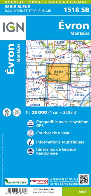
Wandelkaart - Topografische kaart 1518SB Evron - Montsûrs | IGN - Institut Géographique National (9782758533764)

- ISBN / CODE: 9782758533764
- Editie: meest recente editie
- Schaal: 1:25000
- Uitgever: IGN - Institut Géographique National
- Soort: Topografische kaart, Wandelkaart
- Serie: Serie bleue
- Taal: Frans
- Beoordeling: 5,0 ★★★★★ (1 review) Schrijf een review
-
€ 16,95
Leverbaar in 3 - 5 werkdagen in huis in Nederland Levertijd Belgie
Gratis verzending in Nederland vanaf €35,-
-
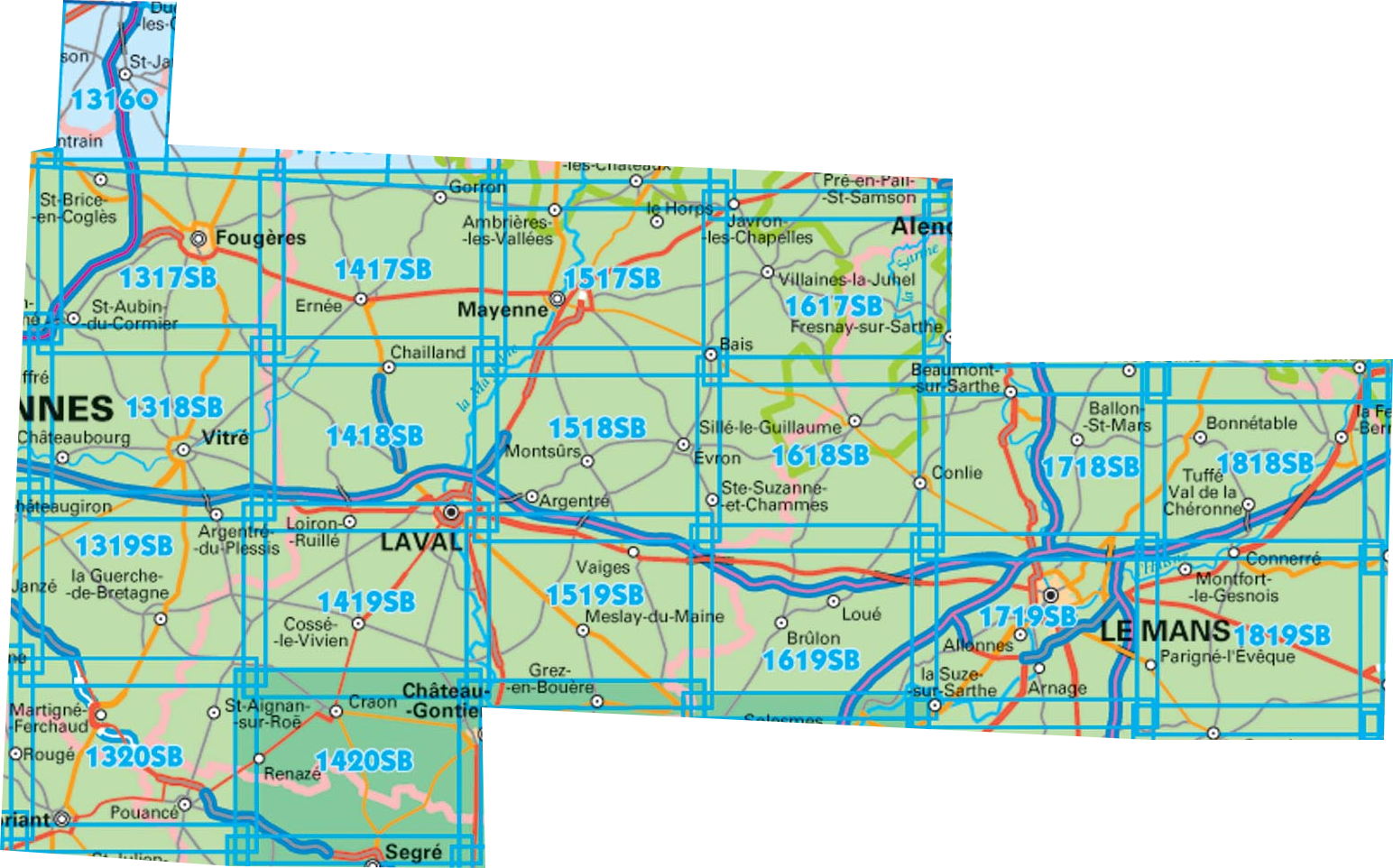
Topografische kaart IGN 25.000 Bretagne OOSTELIJK GEDEELTE


Producten op deze overzichtskaart:
Klik op een product om naar de pagina van dat product te gaan.
- Wandelkaart - Topografische kaart 1316SB St-Hilaire-du-Harcouët | IGN - Institut Géographique National
- Wandelkaart 1317SB Fougères – St-Brice-en-Coglès | IGN - Institut Géographique National
- Wandelkaart - Topografische kaart 1318SB Vitré - Châteaubourg | IGN - Institut Géographique National
- Wandelkaart - Topografische kaart 1319SB La Guerche-de-Bretagne – Retiers | IGN - Institut Géographique National
- Wandelkaart - Topografische kaart 1320SB Châteaubriant - Pouancé | IGN - Institut Géographique National
- Wandelkaart - Topografische kaart 1417SB Ernée - Gorron | IGN - Institut Géographique National
- Wandelkaart - Topografische kaart 1418SB Laval - Port-Brillet | IGN - Institut Géographique National
- Wandelkaart - Topografische kaart 1419SB Cossé-le-Vivien - L'Huisserie | IGN - Institut Géographique National
- Wandelkaart - Topografische kaart 1420SB Craon | IGN - Institut Géographique National
- Wandelkaart - Topografische kaart 1517SB Mayenne - Le Horps | IGN - Institut Géographique National
- Wandelkaart - Topografische kaart 1518SB Evron - Montsûrs | IGN - Institut Géographique National
- Wandelkaart - Topografische kaart 1519SB Meslay-du-Maine, Vaiges | IGN - Institut Géographique National
- Wandelkaart - Topografische kaart 1617SB Villaines-la-Juhel, St-Pierre-des-Nids, Alpes Mancelles | IGN - Institut Géographique National
- Wandelkaart - Topografische kaart 1618SB Sillé-le-Guillaum, Conlie Ste-Suzanne | IGN - Institut Géographique National
- Wandelkaart - Topografische kaart 1619SB Loué - Brûlon, Noyen-sur-Sarthe | IGN - Institut Géographique National
- Wandelkaart - Topografische kaart 1718SB Beaumont-sur-Sarthe - Ballon | IGN - Institut Géographique National
- Wandelkaart - Topografische kaart 1719SB Le Mans - La Suze-sur-Sarthe | IGN - Institut Géographique National
- Wandelkaart - Topografische kaart 1818SB La Ferté-Bernard | IGN - Institut Géographique National
-
Wandelkaart IGN 25.000 Bretagne OOSTELIJK GEDEELTE
Producten op deze overzichtskaart:
Klik op een product om naar de pagina van dat product te gaan.
- Wandelkaart - Topografische kaart 1316SB St-Hilaire-du-Harcouët | IGN - Institut Géographique National
- Wandelkaart 1317SB Fougères – St-Brice-en-Coglès | IGN - Institut Géographique National
- Wandelkaart - Topografische kaart 1318SB Vitré - Châteaubourg | IGN - Institut Géographique National
- Wandelkaart - Topografische kaart 1319SB La Guerche-de-Bretagne – Retiers | IGN - Institut Géographique National
- Wandelkaart - Topografische kaart 1320SB Châteaubriant - Pouancé | IGN - Institut Géographique National
- Wandelkaart - Topografische kaart 1417SB Ernée - Gorron | IGN - Institut Géographique National
- Wandelkaart - Topografische kaart 1418SB Laval - Port-Brillet | IGN - Institut Géographique National
- Wandelkaart - Topografische kaart 1419SB Cossé-le-Vivien - L'Huisserie | IGN - Institut Géographique National
- Wandelkaart - Topografische kaart 1420SB Craon | IGN - Institut Géographique National
- Wandelkaart - Topografische kaart 1517SB Mayenne - Le Horps | IGN - Institut Géographique National
- Wandelkaart - Topografische kaart 1518SB Evron - Montsûrs | IGN - Institut Géographique National
- Wandelkaart - Topografische kaart 1519SB Meslay-du-Maine, Vaiges | IGN - Institut Géographique National
- Wandelkaart - Topografische kaart 1617SB Villaines-la-Juhel, St-Pierre-des-Nids, Alpes Mancelles | IGN - Institut Géographique National
- Wandelkaart - Topografische kaart 1618SB Sillé-le-Guillaum, Conlie Ste-Suzanne | IGN - Institut Géographique National
- Wandelkaart - Topografische kaart 1619SB Loué - Brûlon, Noyen-sur-Sarthe | IGN - Institut Géographique National
- Wandelkaart - Topografische kaart 1718SB Beaumont-sur-Sarthe - Ballon | IGN - Institut Géographique National
- Wandelkaart - Topografische kaart 1719SB Le Mans - La Suze-sur-Sarthe | IGN - Institut Géographique National
- Wandelkaart - Topografische kaart 1818SB La Ferté-Bernard | IGN - Institut Géographique National
Overzichtskaarten
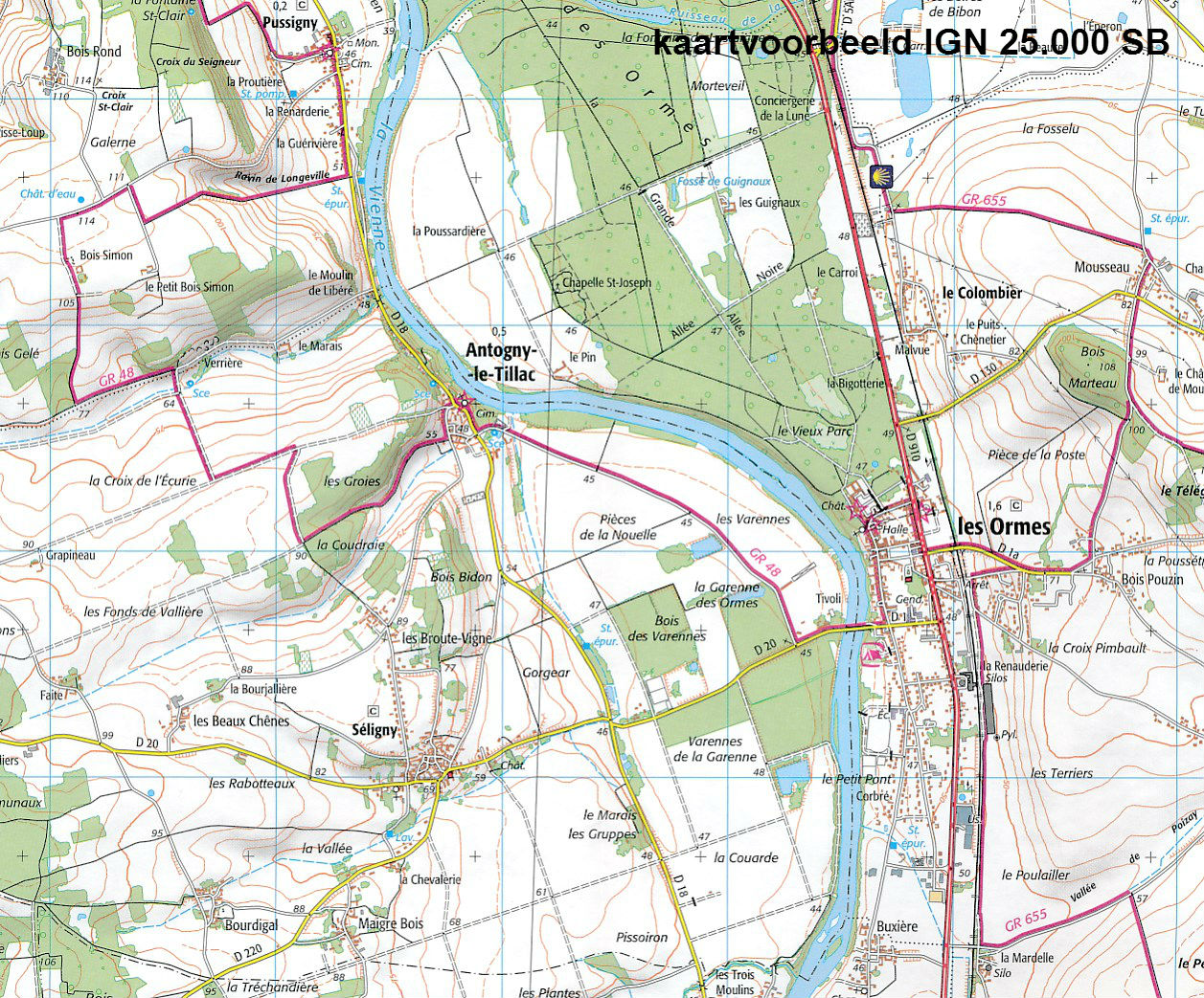
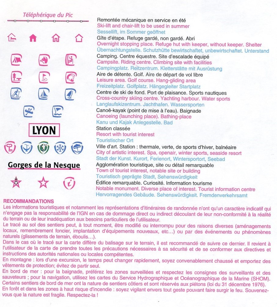
Beschrijving
Reviews
De kaart hielp ons reuze bij de ontsluiting van het gebied ten oosten van de Mayenne. Bracht veel plezier. Trouwens ook de hulp bij het vinden van de juiste kaart en d snelheid van de bezorging waren heel plezierig. Mijn dank.
★★★★★ door karel van leuven 18 januari 2019 | Heeft dit artikel gekochtVond u dit een nuttige review? (login om te beoordelen)
Schrijf een review
Graag horen wij wat u van dit artikel vindt. Vindt u het goed, leuk, mooi, slecht, lelijk, onbruikbaar of erg handig: schrijf gerust alles op! Het is niet alleen leuk om te doen maar u informeert andere klanten er ook nog mee!
Ook interessant voor europa/frankrijk/bretagne
-

Wandelkaart - Topografische kaart 04
€ 16,95Topografische kaarten Bretagne -

Fietskaart - Wegenkaart - landkaart
€ 10,95Fietskaarten Bretagne -

Campergids 10 Mit dem Wohnmobil in d
€ 26,50Campergidsen Bretagne -

Wandelgids RE10 La Bretagne... à pie
€ 16,50Wandelgidsen Bretagne -

Reisgids ANWB extra Bretagne | ANWB
€ 15,50Reisgidsen Bretagne