Wegenatlassen - Europa
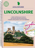 Wegenatlas Local Explorer Street Atlas Lincolnshire | Philip's Maps
Who hasn't explored and enjoyed their surrounding area recently and come to appreciate what is on our respective doorsteps? Philip's have created this new series for walkers, cyclists and local …
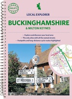 Wegenatlas Local Explorer Street Atlas Buckinghamshire and Milton Keynes | Philip's Maps
Philip's created this new series for walkers, cyclists and local explorers at a scale that provides greener options to uncover all the nature and hidden gems in your local area. …
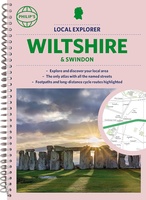 Wegenatlas Local Explorer Street Atlas Wiltshire and Swindon | Philip's Maps
Who hasn't explored and enjoyed their surrounding area in recent years and come to appreciate what is on our respective doorsteps? Philip's have created this new series for walkers, cyclists …
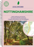 Wegenatlas Local Explorer Street Atlas Nottinghamshire | Philip's Maps
Philip's created this new series for walkers, cyclists and local explorers at a scale that provides greener options to uncover all the nature and hidden gems in your local area. …
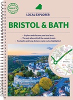 Wegenatlas Local Explorer Street Atlas Bristol and Bath | Philip's Maps
Who hasn't explored and enjoyed their surrounding area recently and come to appreciate what is on our respective doorsteps? Philip's have created this new series for walkers, cyclists and local …
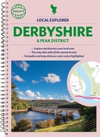 Wegenatlas Local Explorer Street Atlas Derbyshire and the Peak District | Philip's Maps
Who hasn't explored and enjoyed their surrounding area in recent years and come to appreciate what is on our respective doorsteps? Philip's have created this new series for walkers, cyclists …
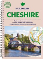 Wegenatlas Local Explorer Street Atlas Cheshire | Philip's Maps
Who hasn't explored and enjoyed their surrounding area recently and come to appreciate what is on our respective doorsteps? Philip's have created this new series for walkers, cyclists and local …
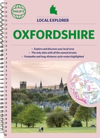 Wegenatlas Local Explorer Street Atlas Oxfordshire | Philip's Maps
Who hasn't explored and enjoyed their surrounding area in recent years and come to appreciate what is on our respective doorsteps? Philip's have created this new series for walkers, cyclists …
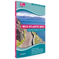 Wegenatlas The Wild Atlantic Way Ierland | Xploreit Maps
Yvonne Gordon provides an essential guide to Ireland's epic coastal driving route - the Wild Atlantic Way. In this newly revised and updated edition she divides the route into 16 …
★★★★★★★★★★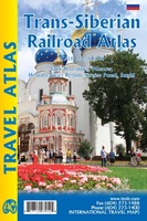 Wegenatlas Trans-Siberian Railroad | ITMB
Klein formaat wegenatlas (A5) van de Trans-Siberische spoorlijn, uitgebracht door ITMB. It is not often that one can publish a map that has never been done before. I seem to …
★★★★★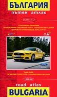 Wegenatlas Bulgarije - Roadatlas Bulgaria | Domino
Wegenatlas van Bulgarije, behoorlijk gedetaileerd met veel informatie, enkele stadskaarten en register. De hoofdplaatsen kennen ook een leesbaar schrift, de rest is in cyrillisch schrift uitgevoerd. Detailed road atlas of …
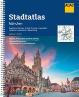 Wegenatlas München | ADAC
Goede wegenatlas van Munchen. Der ADAC StadtAtlas mit Farbleitsystem, CityPilot für die schnelle und unkomplizierte Anreise, topaktuelle, lückenlose Stadtplankartographie und Ausflugskarten mit allen wichtigen Informationen zu Verkehr und Freizeit. ADAC …
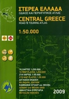 Wegenatlas Central Greece - Centraal Griekenland | Anavasi
Gedetailleerde atlas van het centrale gedeelte van Griekenland, 16 bladzijdes met 1/250.000 en 219 blz. 1/50.000, hoogtelijnen ,tweetalig met grid GGR87 en WGS84 en een uitgebreid register. Zeer geschikt …
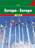 Wegenatlas Autoatlas Europa | Freytag & Berndt
Goede wegenatlas met ringband van heel Europa met stadsplattegronden van de belangrijkste steden. Neben der übersichtlichen Gestaltung bietet der “Autoatlas Europa 1:800.000” zahlreiche Zusatzinformationen wie z.B. Sehenswürdigkeiten, Campingplätze, Nationalparks …
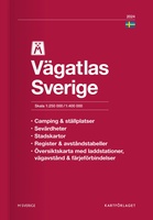 Wegenatlas Sverige Vägatlas 2024 - Zweden | Norstedts
Goede wegenatlas van de Zweedse topografische dienst. Met veel toeristische informatie als campings, haventjes en picknickplaatsen. Met stadsplattegronden. Het noorden in schaal 1:400.000. Teksten in de atlas zijn in het …
★★★★★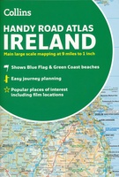 Wegenatlas Handy Road Atlas Ireland - Ierland | Collins
Handzame wegenatlas op A5 formaat van Ierland. Vrij grove schaal maar heel handig door formaat en goed kaartbeeld. Met enkele stadsplattegronden en een paar pagina's met hoogtepunten van het land. …
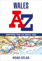 Wegenatlas Wales road atlas | A-Z Map Company
Handige wegenatlas op A5 formaat, makkelijk te gebruiken met grote letters en heel goed leesbaar. De schaal is behoorlijk gedetaileerd en zeker ook voor fietsers goed te gebruiken. Met veel …
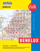 Wegenatlas Autokaart Benelux Tab Map | Falk
De meest gebruiksvriendelijke wegenkaart van de Benelux is ongetwijfeld de Falk Routiq Tab Map. De Routiq Tab Map bladen zijn in een handige ringband gebonden, waar je op de rechterzijde …
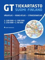 Wegenatlas GT Suomi - Finland tiekartasto | Karttakeskus
Zeer goede wegenatlas van Finland met alle topografische details op deze schaal van 1:200.000 voor het zuiden en 1:250.000 voor het noorden van Finland. Met symbolen worden daarnaast allerlei handige …
★★★★★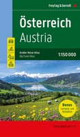 Wegenatlas Autoatlas Österreich Großer Reise-Atlas Oostenrijk | Freytag & Berndt
Neben der detaillierten Autokarte 1:150.000 bietet der Große Reise-Atlas Österreich eigene Karten für die Gebiete um München, Brünn, Bozen, Budweis und das Drautal. Diese erweiterte Ausgabe beschreibt zudem 100 …
Laatste reviews

Heb de gids cadeau gedaan en die persoon was er heel blij mee ..
★★★★★ door J 21 november 2024 | Heeft dit artikel gekocht
De kaart van Kirgystan is prachtig, zeer gedetailleerd. Kan niet wachten tot de we echt op reis hmgaan die kant op.
★★★★★ door Marijke Eering 21 november 2024 | Heeft dit artikel gekocht
Super handig fiets boekje en mooi water bestendig. En handig om op de kaarten te kijken heel duidelijk beschrijving. Wij fietsen al jaren in Duitsland …
★★★★★ door Jenneke holterman 19 november 2024 | Heeft dit artikel gekocht
prima kaart levering en betaling allemaal vlot verlopen
★★★★★ door Marc Buts 19 november 2024 | Heeft dit artikel gekocht


